 Catalogue GéoSAS
Opendata
Type of resources
Available actions
Provided by
Years
Representation types
Update frequencies
status
Service types
Scale
-
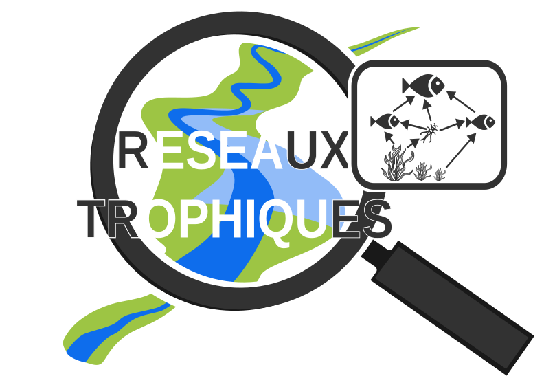
En quelques mots : Le projet sur les réseaux trophiques s’intéresse aux biocénoses aquatiques présentes sur la Sélune dans une approche large, allant des microorganismes aux poissons, dans les affluents et le fleuve lui-même, de sa source à l’entrée dans l’estuaire. La démarche vise à étudier les interactions entre ces composantes biologiques, avec pour objectif principal d'étudier le fonctionnement général de l’écosystème. Il s'agit de comprendre les équilibres dans les écosystèmes aquatiques, des têtes de bassin versant jusqu’à l’aval du fleuve, avant (état des lieux) et après (restauration du fleuve) remise en continuité par arasement des barrages. Objectif, répondre aux questions : · Quel rôle jouent les barrages et leurs lacs dans l’organisation des biocénoses aquatiques dans le fleuve, et dans le fonctionnement de cet écosystème ? · Comment l’écosystème rivière se restaure-t-il à l’emplacement précis d’un lac de barrage après vidange ? · Quels rôles ont certaines espèces clés (notamment les poissons amphihalins et les espèces invasives) dans les équilibres écologiques ? · Quelles conséquences peut-on attendre des opérations de démantèlement de barrages, des têtes de bassin versant à l’entrée de l’estuaire, sur ces biocénoses et le fonctionnement de l’écosystème fleuve reconnecté à l’océan ? Méthodes : inventaires ; caractérisation physico-chimique ; analyse fonctionnelle des écosystèmes ; analyses par isotopes stables ; analyse des réseaux trophiques Données : - Mesures de la qualité physicochimique de l’eau - Inventaires des communautés - estimation de (1) la dégradation de la matière organique grossière (litière de feuilles d’arbre) par la voie détritique, et (2) l’activité photosynthétique des microorganismes et des biofilms de la voie algale. - Données issues d'analyses isotopiques sur les communautés - Identification des sources d'énergie (alimentaires, cycle du Carbone) dans les réseaux trophiques - Rôle des espèces clé (écrevisses invasives et prédateurs poisson), - Analyse de la structure des réseaux trophiques
-
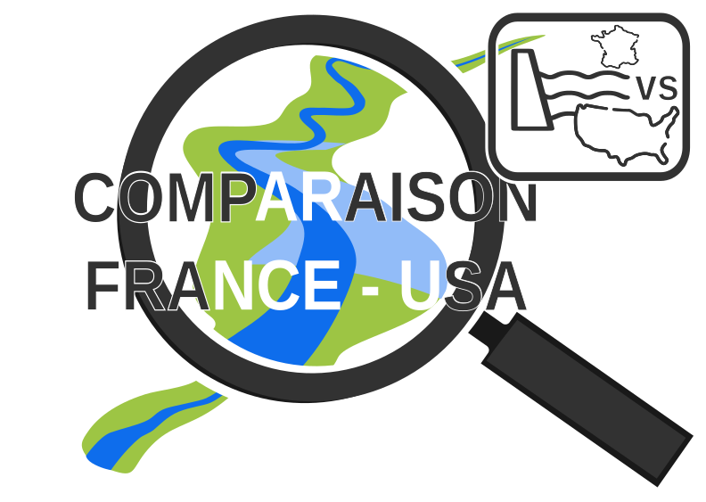
Ce projet compare la mise en place, l’acceptation et le déroulement de projets d’effacements de barrages en France, avec l’exemple de la Sélune, et aux Etats-Unis, où plusieurs cas d’effacements similaires se sont déroulés.
-

Ce projet évalue l’impact de la restauration de la connectivité entre populations de poissons suite à l’effacement des barrages de la Sélune. Il se base sur le calcul d’un indice de fragmentation génétique sur 5 espèces de poissons. Données : - Analyse génétique et F-index
-
-
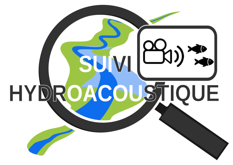
Ce projet a pour ambition de mettre au point et d’appliquer une méthode non invasive de suivi des flux de poissons migrateurs dans la Sélune. Le développement de cette méthode repose sur l’analyse d’images et vidéos prises par une caméra hydroacoustique positionnée dans le cours d’eau.
-
En quelques mots : Ce projet de recherche porte sur les dimensions sociales et géographiques de l'opération de restauration écologique de la Sélune. Il a pour objectif de dresser un état des paysages, des usages et des pratiques à l’œuvre dans la vallée de la Sélune (et plus spécialement dans la section en gorges) avant effacement des barrages, puis de suivre les modifications induites par l’opération d’effacement : état des transformations matérielles (occupation du sol, usages, fréquentation) mais aussi idéelles (représentations, discours) du territoire afin de mesurer les impacts de cette opération et d’en mesurer ainsi la réussite du point de vue des usagers (qualité du cadre de vie, projet de territoire, pratiques, ...) appréhender, à partir de l’exemple de la Sélune, les difficultés d’acceptation et d’appropriation d’un tel projet par les différents acteurs locaux ainsi que les enjeux liés à sa définition et à son accompagnement. Méthodes utilisées : enquêtes, questionnaires, analyse de la presse locale, photographie Données : - Jeu de clichés (~40) sur l'ensemble de la vallée de la Sélune pour suivre l'évolution du paysage - Photographies historiques et cartes postales. Les prises de vues seront renseignées et localisées - Inventaire des usages (pêche, loisirs, hébergement, ...), analyse de la fréquentation des gorges et cartographies - entretiens semi-directifs seront conduits auprès des acteurs représentatifs des groupes d’usagers (pour renseigner leur opinion) - analyse textuelle (logiciel Alceste ou WordMapper) des entretiens retranscrits - Collecte des avis des habitants et évaluation de leur satisfaction face au projet - Corpus des articles publiés dans la presse quotidienne régionale, afin de de suivre l’historique des réactions - Collecte des informations diffusées via d’autres supports médiatiques tels que les blogs, forums et sites Internet, par plusieurs groupes d’acteurs, en particulier les pêcheurs, les défenseurs de la nature et les opposants à l’arasement - Codification des corpus suivie d'une analyse lexicographique et sémantique grâce à la plateforme TXM
-
Des stations de mesure en continu de paramètres hydrologiques, physiques, chimiques et sédimentaires ont été installées sur le fleuve Sélune, dans le cadre du programme scientifique de suivi de l’arasement des barrages de la Sélune. Les mesures sont acquises avec une fréquence au moins horaire depuis au plus 2014. Depuis 2019, ces stations relèvent de l'Observatoire Sélune, qui est en charge du suivi des paramètres environnementaux (biotiques et abiotiques). Les paramètres physico-chimiques mesurés comportent sur toutes les stations : la turbidité, le niveau d’eau, la conductivité. Sur certaines des stations, le pH et l’oxygène dissous ou la concentration en chlorophylle sont mesurés en plus. Cette couche donne les mesures brutes, issues des stations de mesure hydrologique SIGNY, LA-ROCHE-QUI-BOIT, VIREY et DORIERE (uniquement jusque octobre 2020).
-
Ce projet a pour objectif de comprendre les échanges entre la nappe souterraine et l’eau de la Sélune. Cette connaissance permettra de prévenir les changements physiques, chimiques et biologiques que la remise en continuité va engendrer sur la qualité de l’eau de la Sélune. Données : - chroniques de hauteurs d'eau - chroniques de mesure de T° à différentes positions dans les sédiments dans la rivière et dans les piézomètres - données de capteurs de pression différentiel à certains endroits de la rivière, - données de concentration d'éléments chimiques (N, P, gaz dissous, ..) dans les sédiments - données de fibre optique - données de campagnes Lidar Sites : Au début du projet, deux sites principaux, de quelques centaines de mètres, sont situés à proximité : - du Pont de Signy - du Pont des Biards D'autres sites pourraient ensuite être ajoutés, si les contraintes logistiques (mobilité de certains protocoles de mesure) le permettent.
-
Ce projet a pour ambition de mettre en place des méthodes qui permettront de suivre le retour des poissons migrateurs emblématiques tels que le saumon ou l’anguille dans la vallée de la Sélune après sa remise en continuité.
-

L’ouverture des barrages va considérablement impacter le fonctionnement des populations piscicoles de la Sélune. Le rétablissement de la continuité écologique du fleuve modifiera les flux populationnels en autorisant la remontée plus en amont de certaines espèces amphihalines et le déplacement d'autres espèces vers l'aval et en amont des barrages. Depuis plus d'une 50aine d'années, de nombreuses années, l'API HUB'eau Poisson diffuse les données collectées lors d'opérations de pêches scientifiques à l'électricité réalisées par l'Office français de la biodiversité (OFB) et et ses partenaires. Ces données concernent les observations, les indicateurs, les opérations et les stations de prélèvement. Elles couvrent la France hexagonale (Corse comprise). Elles sont bancarisées dans l'outil Aspe opéré par l'OFB. L'API Poisson donne accès à la quasi totalité des données de l'outil de gestion Aspe opéré par l'OFB. Celui-ci est ouvert à l'ensemble des producteurs désireux de bancariser leurs données piscicoles. Pour toute demande d'information, merci de vous rendre sur le site aspe.eaufrance.fr. La v0 de l'API, basée sur les données de l'ancienne base IMAGE, n'est désormais plus accessible.