Catalogue GéoSAS
maps
Type of resources
Available actions
Topics
Keywords
Contact for the resource
Provided by
Years
Formats
Representation types
Update frequencies
status
Service types
Scale
-
Indicateurs sur les exploitations agricoles à l'échelle communale en 1988, 2000 et 2010* - projet Paroles et Chemins de l’Agriculture Littorale (Parchemins) les indicateurs sont disponibles pour toutes les communes de France métropolitaine pour les années 1988, 2000 et 2010. En voici la liste : - ea : nombre d'exploitations agricoles - ea_d : nombre d'exploitations agricoles par km2 - uta : nombre d'unités de travail agricole - uta_d : nombre d'unités de travail agricole par km2 - sau : Surface agricole utile (en ha) - sau_d : Pourcentage de surface agricole utile (en %) - cheptel : Cheptel (en unité gros bétail) - cheptel_d : Densité du cheptel (en unité gros bétail par km2) - otex : orientation technico-économique majoritaire - stl : Superficie en terres labourables (en ha) - stl_d : Proportion de terres labourables (en %) - scp : Superficie en cultures permanentes (en ha) - scp_d : Proportion de cultures permanentes (en %) - sth : Superficie toujours en herbe (en ha) - sth_d : Proportion toujours en herbe (en %) - tea : taille moyenne des exploitations (ha)
-
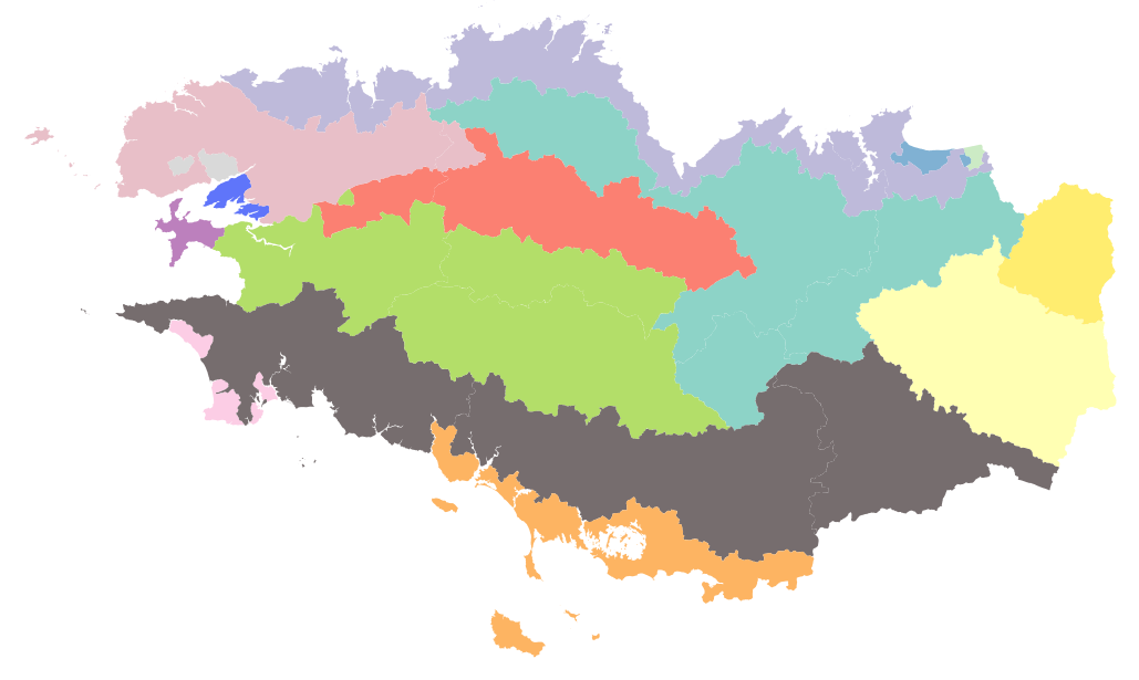
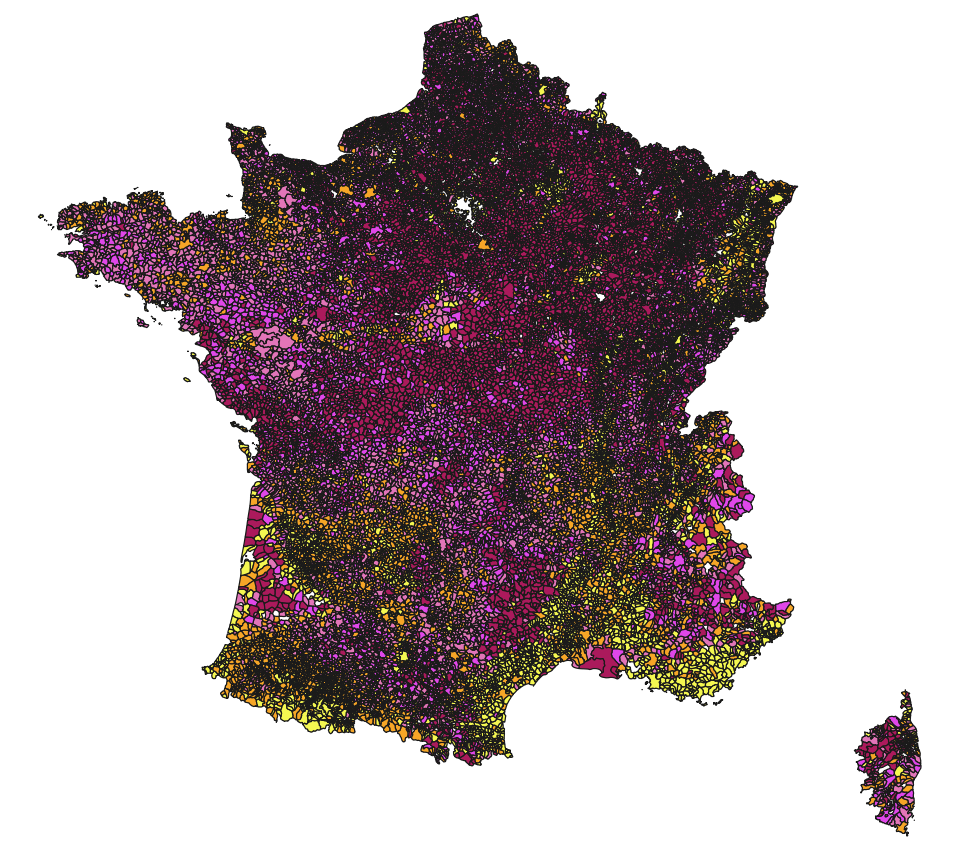
Les Petites Régions Agricoles (PRA) sont les intersections des Régions Agricoles avec les départements. Les Régions Agricoles (RA) elles-mêmes sont des régions ayant une même vocation agricole dominante, délimitées par l'INSEE en 1946. La dernière actualisation date de 2017. Source AGRESTE : https://agreste.agriculture.gouv.fr/agreste-web/methodon/Z.1/!searchurl/listeTypeMethodon/
-
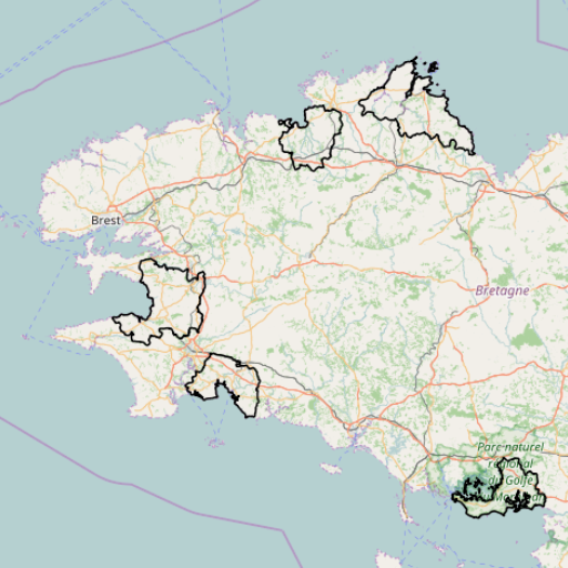
Délimitation des 5 sites d'étude du projet "Paroles et chemins de l'Agriculture Littorale" (Parchemins) : - Baie de Douarnenez - Baie de la Forêt - Baie de Lannion - Goëlo - Presqu'île de Lézardrieux - Presqu'île de Rhuys
-