Eaux intérieures
Type of resources
Available actions
Topics
Keywords
Contact for the resource
Provided by
Years
Formats
Representation types
Update frequencies
status
Scale
-
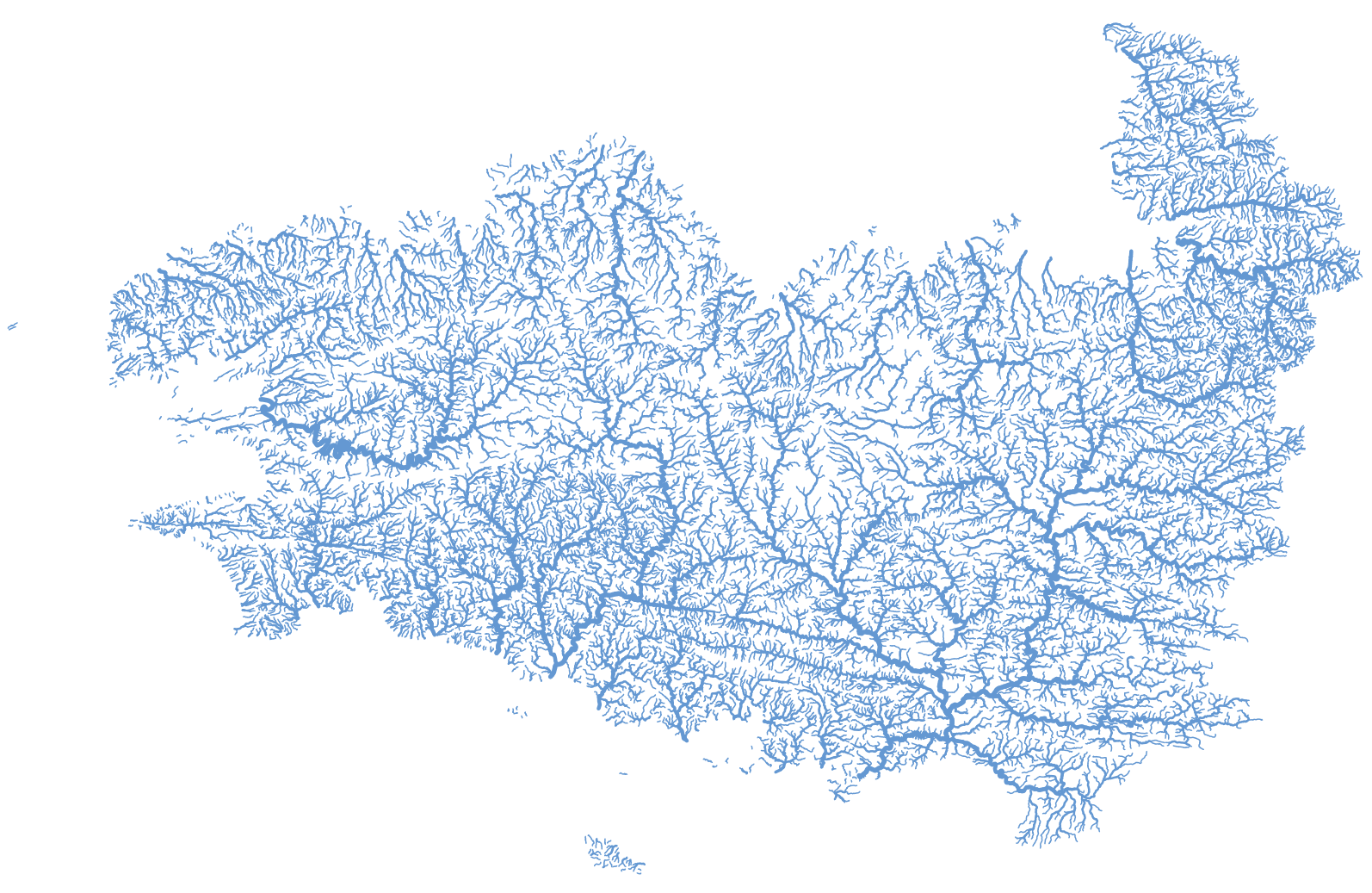
Représentation des tronçons hydrographiques de la Bretagne et des bassins versants de la baie du Mont Saint-Michel extraite de la BD Topage® version 2020. cette couche géographique est corrigée de telle sorte que soit garantie l'unicité du chemin de l'eau de l'amont vers l'aval (suppression des boucles, des canaux, ...).
-
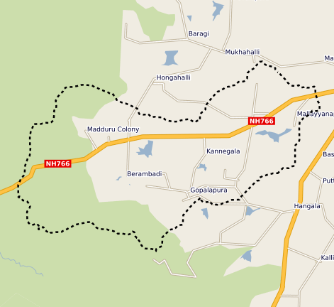
This vector map delineate the boundary of the Berambadi watershed
-
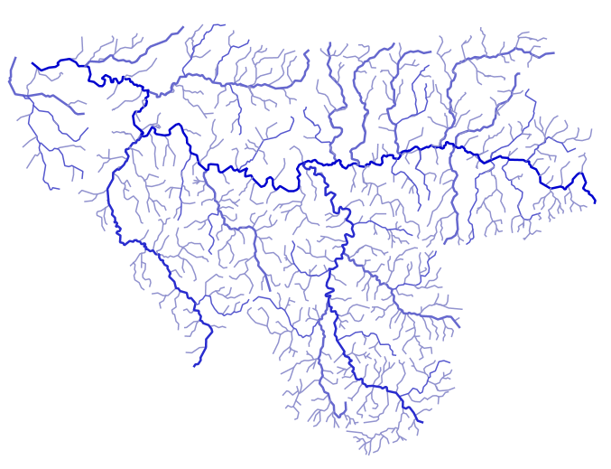
L’effacement des barrages de la Sélune fait l’objet d’un programme scientifique initié en 2012 dans lequel des paramètres environnementaux sont suivis afin de fournir un réel retour d’expérience sur cette opération de restauration. En 2019 s’est mis en place un observatoire de données, chargé d’assurer la collecte et le traitement de ces paramètres (biotiques et abiotiques). Les données acquises à partir de 2012 et au moins jusqu’en 2027, seront centralisées grâce à un système d’information (SI), appelé SISelune. SISelune vise à aider les scientifiques associés au programme Sélune et à rendre les données accessibles à tous. Les cours d'eau sont des entités hydrographique linéaires, liés à un toponyme principal, et décomposés en tronçons hydrographiques. Ces cours d'eau sont extraits de la BD Topage sur l'emprise de la zone d'étude. Des codes, utilisables dans le cadre du programme Sélune ont été ajoutés, ainsi que les codes issus de l'ancien référentiel hydrographique (BD Carthage).
-

Les tronçons hydrographiques, constituants des cours d'eau, ont été extraits de la BD Topage sur l'emprise de la zone d'étude.
-
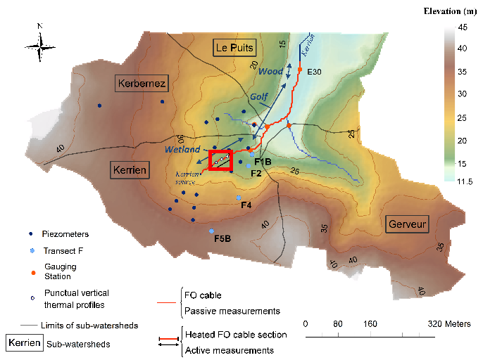
Data corresponding to the active-DTS experiment conducted in Kerrien by deploying and burying an heatable FO cable in the streambed sediments (in the wetland area). Further details are available in the file: http://agrhys.fr/BVE/nataline/mesuresactives/infos.pdf and results are presented in Simon et al. (2021)
-
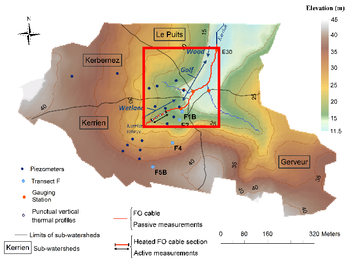
Data corresponds to the long-term monitoring of streambed sediments conducted in Kerbernez through Fiber Optic (FO) DTS technology. The streambed temperature is continuously monitored at high resolution all along the FO cable in order to highlight and quantify groundwater/stream exchanges. Further details are available in the file: http://agrhys.fr/BVE/nataline/mesurespassives/infos.pdf and results are presented in Simon et al. (2021)
 Catalogue GéoSAS