Geoscientific information
Type of resources
Available actions
Provided by
Years
Formats
Representation types
Update frequencies
status
Scale
Resolution
-

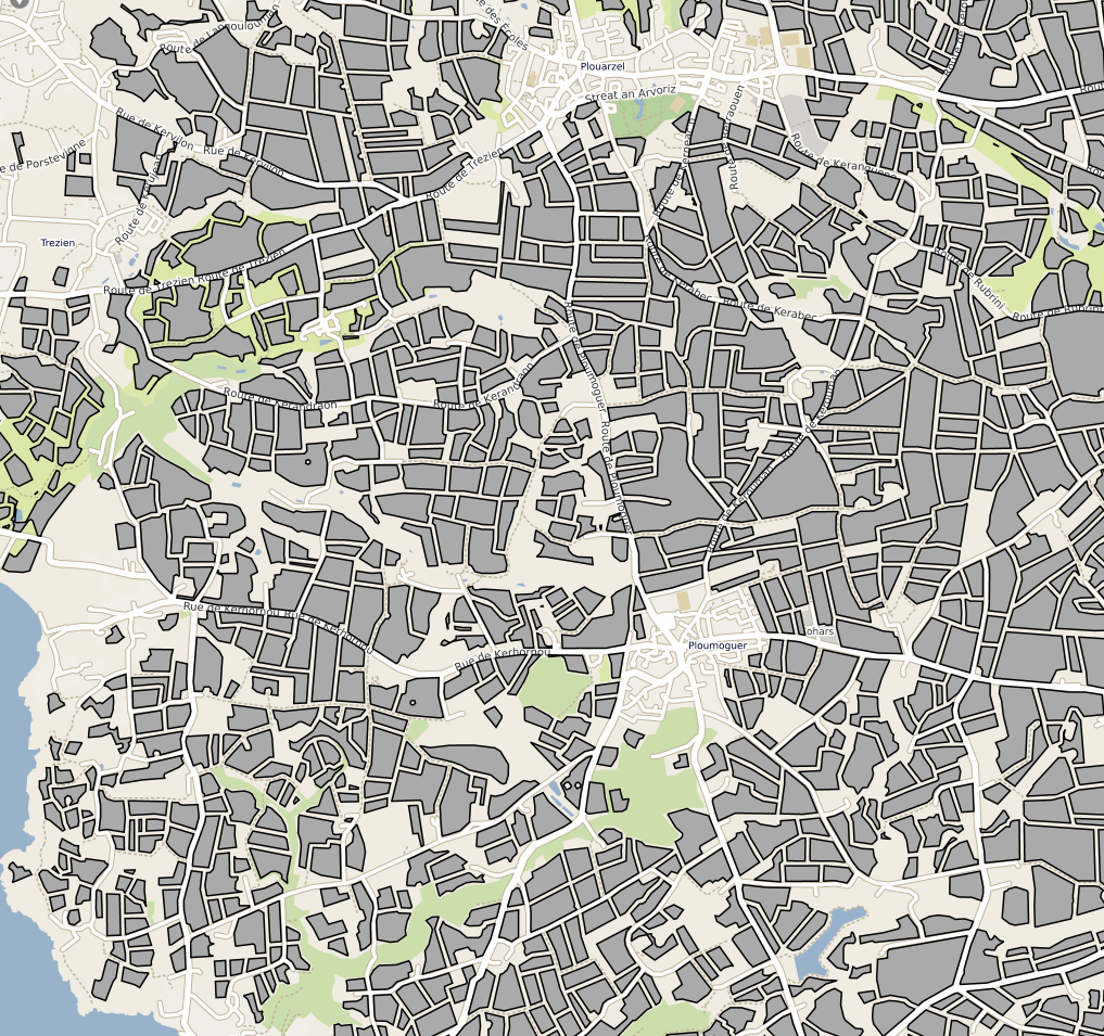
Parcelles cultivées résultant de la compilation des Référentiels Parcellaires Graphiques (RPG) de 2017 et 2019. La table attributaire contient un lien vers la série temporelle de l'humidité de surfacede la parcelle depuis 2017.
-

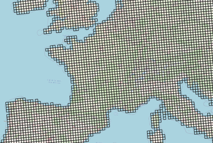
Données météorologiques Agri4cast basées sur des observations et spatialisées sous la forme d'une grille composée de mailles carrées de 625 km² (25 km ×25 km) sur la France. La table attributaire de cette couche permet d'établir le lien entre l'objet géographique (la maille) et les chroniques d'observation météorologiques via un service conforme au standard OGC SensorThings (https://frost.geosas.fr/agri4cast/v1.0/) Les observations sont : - température maximale de l'air (°C), - température minimale de l'air (°C), - température moyenne de l'air (°C), - vitesse moyenne quotidienne du vent à 10 m (m/s), - pression atmosphérique (hPa), - précipitations cumulées (mm/jour), - évapotranspiration potentielle d'un couvert végétal (mm/jour), - rayonnement global total (KJ/m2/jour). Les données météorologiques sont quotidiennes de 1979 à la dernière année civile révolue. Plus d’informations sur le portal Agri4cast : https://agri4cast.jrc.ec.europa.eu/DataPortal/Index.aspx
-

Hyperspectral ENVI standard simulated images. Spatial and spectral configurations generated correspond to ESA SENTINEL-2 instrument that was lunched on 2015, and HYPXIM sensor which was under study at that time.
-

Full hyperspectral VNIR-SWIR ENVI standard image obtained from the coregistration of both VNIR and SWIR ones through a signal aggregation process that allowed to obtain a synthetic VNIR 1.6 m spatial resolution image, with pixels exactly corresponding to natif SWIR image ones. First, a spatially resampled 1.6 m VNIR image was built, where output pixel values were calculated as the average of the VNIR 0.8 m pixel values that spatially contribute to it. Then, ground control points (GCP) were selected over both images and SWIR one was tied to the VNIR 1.6 m image using a bilinear resampling method using ENVI tool. This lead to a 1.6 m spatial resolution full VNIR-SWIR image.
-

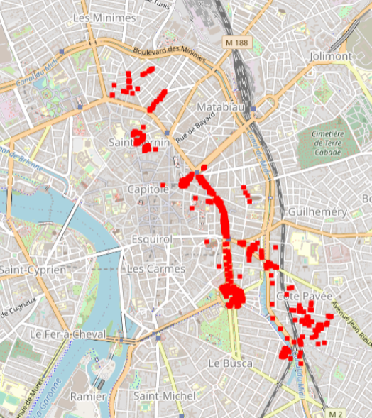
Hyperspectral data were obtained during an acquisition campaign led on Toulouse (France) urban area on July 2015 using Hyspex instrument which provides 408 spectral bands spread over 0.4 – 2.5 μ. Flight altitude lead to 2 m spatial resolution images. Supervised SVN classification results for 600 urban trees according to a 3 level nomenclature: leaf type (5 classes), family (12 and 19 classes) and species (14 and 27 classes). The number of classes differ for the two latter as they depend on the minimum number of individuals considered (4 and 10 individuals per class respectively). Trees positions have been acquired using differential GPS and are given with centimetric to decimetric precision. A randomly selected subset of these trees has been used to train machine SVM and Random Forest classification algorithms. Those algorithms were applied to hyperspectral images using a number of classes for family (12 and 19 classes) and species (14 and 27 classes) levels defined according to the minimum number of individuals considered during training/validation process (4 and 10 individuals per class, respectively). Global classification precision for several training subsets is given by Brabant et al, 2019 (https://www.mdpi.com/470202) in terms of averaged overall accuracy (AOA) and averaged kappa index of agreement (AKIA).
 Catalogue GéoSAS