 Catalogue GéoSAS
Biodiversité
Type of resources
Available actions
Topics
Keywords
Contact for the resource
Provided by
Years
Formats
Representation types
Update frequencies
status
Resolution
-
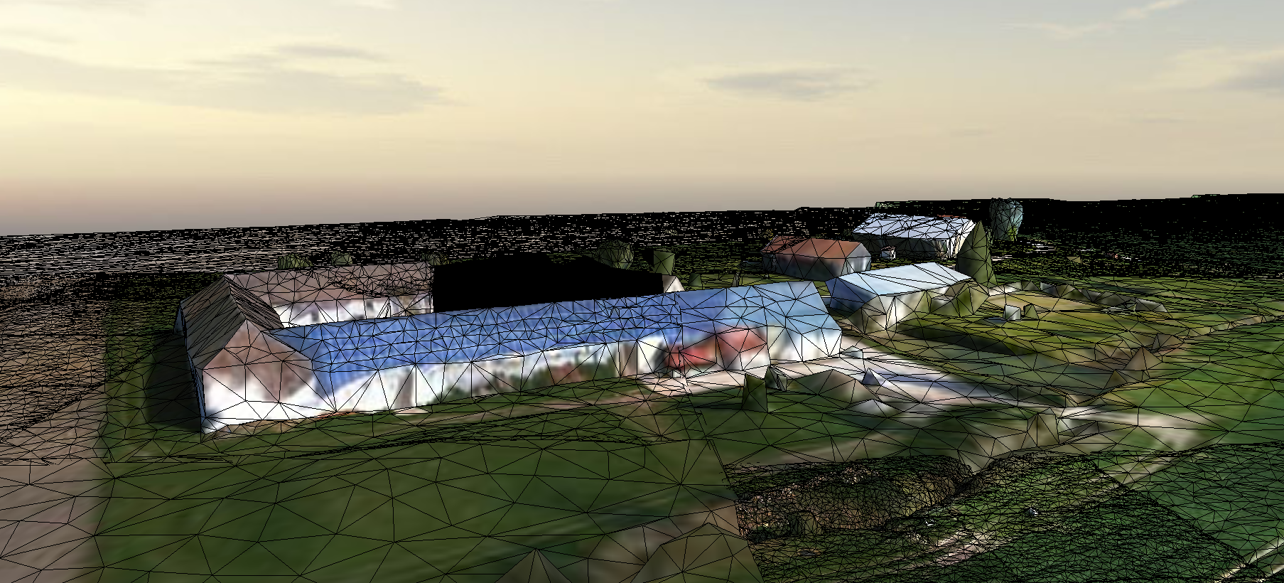
Survol d'une partie du Ru des Effervettes,en limite des communes de Nangis et Fontains, dans le département de la Seine et Marne. Les données ont été acquises par drone anafiet restituées en un maillaige tridimentionnel (mesh).
-

This dataset provides georeferenced polygon vectors of individual tree canopy geometries for dryland areas in West African Sahara and Sahel that were derived using deep learning applied to 50 cm resolution satellite imagery. More than 1.8 billion non-forest trees (i.e., woody plants with a crown size over 3 m2) over about 1.3 million km2 were identified from panchromatic and pansharpened normalized difference vegetation index (NVDI) images at 0.5 m spatial resolution using an automatic tree detection framework based on supervised deep-learning techniques. Combined with existing and future fieldwork, these data lay the foundation for a comprehensive database that contains information on all individual trees outside of forests and could provide accurate estimates of woody carbon in arid and semi-arid areas throughout the Earth for the first time.