 Catalogue GéoSAS
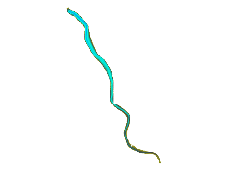
Bathymétrie LIDAR à la Roche qui Boit (Points de sonde) - Programe scientifique Sélune
La couche bathymétrie LIDAR-retenue de la Roche qui Boit, représente la bathymétrie de la retenue réalisée par EDF à l'aide d'un LIDAR bathymétrique en 2011.
Simple
- Date ( Création )
- 2015-12-15T16:00:00
- Edition
- version 1.0
- Identificateur
- fr-18007003900276-umrsas-selune-mnt_xyz_rqb3
- Forme de la présentation
- Carte numérique
- But
- Cette couche a été créée dans le but d'avoir une image de l'évolution de la bathymétrie de la retenue, notamment pour visualiser l'ancien lit de la rivière et évaluer le niveau d'envasement de la retenue;
- Etat
- Finalisé
Point de contact
UMR 1069 SAS INRA - Agrocampus Ouest
-
Contact UMR SAS
(
)
65 rue de Saint-Brieuc
Rennes
35042
France
- Fréquence de mise à jour
- Lorsque nécessaire
- Mots clés
-
- données ouvertes
- GéoBretagne v 2.0 GéoBretagne v 2.0 ( Thème )
-
- référentiels : altitude
- UMR SAS Observatoires UMR SAS Observatoires ( Localisation )
-
- ORE Petits Fleuves Côtiers
- UMR SAS Sites UMR SAS Sites ( Localisation )
-
- Sélune
- UMR SAS Themes UMR SAS Themes ( Thème )
-
- Altimétrie
- INSPIRE themes INSPIRE themes ( Thème )
-
- Altitude
- Limitation d'utilisation
- Usage libre sous réserve des mentions obligatoires sur tout document de diffusion : "Source : UMR 1069 SAS INRA - Agrocampus Ouest"
- Limitation d'utilisation
- Licence ouverte : https://www.etalab.gouv.fr/licence-ouverte-open-licence
- Contraintes d'accès
- Autres restrictions
- Contraintes d'utilisation
- Licence
- Autres contraintes
- Pas de restriction d’accès public
- Type de représentation spatiale
- Raster
- Dénominateur de l'échelle
- 1000
- Langue
- fre
- Jeu de caractères
- Utf8
- Catégorie ISO
-
- Boundaries
N
S
E
W
))
- Nom du système de référence
- RGF93 / Lambert-93 (EPSG:2154)
- Format (encodage)
-
-
GeoTIFF
(
1.0
)
-
GeoTIFF
(
1.0
)
Distributeur
UMR 1069 SAS INRA - Agrocampus Ouest
-
GeoSAS
(
)
UMR 1069 SAS, 65 rue de St Brieuc - CS 84215
Rennes
35042
France
- Ressource en ligne
- Portail de l information geographique de l UMRSAS ( WWW:LINK-1.0-http--link )
- Ressource en ligne
-
mnt_xyz_rqb3
(
OGC:WMS
)
Visualiser la couche Bathymétrie LIDAR-retenue de la Roche qui Boit (M.N.T) du Programme Sélune
- Ressource en ligne
-
Télécharger la couche au format geotiff
(
WWW:DOWNLOAD-1.0-http--download
)
Télécharger la couche au format geotiff
- Niveau
- Jeu de données
- Généralités sur la provenance
- Cette couche a été créée à partir de données géographiques (X,Y,Z) obtenues à l'aide d'un LIDAR bathymérique lors d'une campagne terrain réalisée par EDF. Le fichier point (X,Y,Z) a ensuite été transformé en RASTER
gmd:MD_Metadata
- Identifiant de la fiche
- 09258fa0-291c-47fd-82c0-604c4f955c4a XML
- Langue
- fre
- Jeu de caractères
- Utf8
- Type de ressource
- Jeu de données
- Date des métadonnées
- 2026-07-08T11:30:41
- Nom du standard de métadonnées
- ISO 19115:2003/19139
- Version du standard de métadonnées
- 1.0
Point de contact
UMR 1069 SAS INRA - Agrocampus Ouest
-
Claude Le Gonidec
(
)
INRA UMR 1069 SAS, 65 rue de St Brieuc - CS 84215
Rennes
35042
France
Aperçus
Fourni par

Ressources associées
Not available