 Catalogue GéoSAS
Type of resources
Available actions
Topics
Keywords
Contact for the resource
Provided by
Years
Formats
Representation types
Update frequencies
status
Service types
Scale
-

Les barrages sont à l’origine de modifications significatives du régime hydrologique, de la température de l’eau et des flux biologiques et biogéochimiques. C’est le cas des barrages de Vezins et de la Roche qui Boit, présents sur le cours principal de la Sélune, et d’autres plus petits obstacles qui fragmentent le bassin versant de la Sélune. Cette couche représente les barrages hydroélectriques de la Sélune, avec les batiments associés, en lien avec la production électrique. La géométrie de ces polygones est issue de plusieurs sources : BD Topo, OpenStreetMap (de 2019), complétée par photointerprétation. Des informations extraites du livre « Quand les rivières reprennent leur cours – Notes sur l’effacement de barrages et de seuils, sur la Sélune et ailleurs » ont été ajoutées pour décrire l'état (en service ou arasé), la nature et les caractérisques physiques de ces barrages.
-
-

En partenariat avec l’ANR Reppaval, le Syndicat Mixte du bassin de la Sélune a débuté la mise en œuvre d’un observatoire photographique des paysages du bassin de la Sélune. Il s’agit d’un itinéraire photographique composé de points de vue répartis sur l’ensemble du territoire où des clichés seront repris régulièrement. L’objectif est de suivre les transformations du paysage sur le territoire, en particulier en lien avec l’opération de restauration de la Sélune. La couche donne la localisation des sites de l’itinéraire photographique directement concernés par les travaux de restauration de la Sélune : les lacs, les barrages.
-
En quelques mots : La vidange des deux retenues associés aux barrages de la Sélune va provoquer une modification des flux de sédiments et de substances organiques ou minérales jusque-là piégés dans les retenues en aval des barrages. Cette modification pourrait affecter les biocœnoses bentho-démersales situées plus en aval, au contact de la baie du Mont Saint Michel, dans la zone dite « petite baie ». Objectifs effectuer un état initial (pré-vidange) des communautés benthiques et bentho-démersales des estuaires de la Sélune et de la Sée (témoin), caractériser la variabilité saisonnière de ces deux communautés en termes de composition et d’assemblage, intégrer une approche fonctionnelle de l’estuaire en incluant le dynamisme trophique via l’analyse des contenus stomacaux des espèces ichtyologiques et la détermination de l’ensemble des sources trophiques par la technique d’analyses isotopiques Données prélèvements d'invertébrés macrobenthiques et d'icthyofaune analyses isotopiques analyse des contenus stomacaux (GCA) des poissons mesure de paramètres physico-chimiques et analyse de la granulométrie
-
-
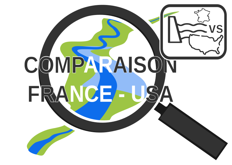
Ce projet compare la mise en place, l’acceptation et le déroulement de projets d’effacements de barrages en France, avec l’exemple de la Sélune, et aux Etats-Unis, où plusieurs cas d’effacements similaires se sont déroulés.
-
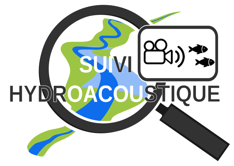
Ce projet a pour ambition de mettre au point et d’appliquer une méthode non invasive de suivi des flux de poissons migrateurs dans la Sélune. Le développement de cette méthode repose sur l’analyse d’images et vidéos prises par une caméra hydroacoustique positionnée dans le cours d’eau.
-

Le rétablissement du continuum fluvial de la Sélune après l’arasement des barrages permettra la colonisation de l’amont du bassin anciennement inaccessible aux anguilles. Avant l'arasement, deux affluents principaux étaient utilisés par les poissons amphihalins pour leur reproduction, en plus du cours principal : le Beuvron et l'Oir. La population d’anguilles de la Sélune a été suivie en phase pré-arasement par des campagnes d’indice d’abondance effectuées en 2013, 2015, 2019 sur un réseau de stations couvrant l’ensemble du réseau hydrographique de la Sélune. Depuis 2021, ce réseau de station a évolué pour suivre l'évolution sur la partie du bassin versant accessible suite au démantèlement des 2 barrages. Ces données permettent d’estimer l’évolution de l’abondance des anguilles le long de la Sélune et de ses affluents et leur structuration en taille avant et après la destruction des barrages. L’inventaire est réalisé début septembre, une année sur deux entre 2013 et 2019, puis tous les ans depuis, à l'aide d'un dispositif de pêche électrique et d'épuisettes. Trente points de pêche de trente secondes minimum sont réalisés. Une station de pêche comprend environ 100 mètres de linéaire de cours d’eau. Toutes les anguilles pêchées sont anesthésiées et font l’objet de mesures biométriques (poids, longueur, diamètre oculaire horizontal, vertical, détermination du stade jaune ou argentée). L’ensemble des anguilles est relâché directement sur le site de pêche. Deux protocoles différents mis en œuvre : Indice d’Abondance Anguille (Pottier et Chapon, 2022) sur 23 stations et pêches par épuisement sur 8 autres stations (IAA01 à IAA08) sur le cours d’eau de l’Oir et certains de ses affluents selon un protocole interne. Cette couche fournit les abondances aux stations et ce par session de pêche.
-

Ce projet évalue l’impact de la restauration de la connectivité entre populations de poissons suite à l’effacement des barrages de la Sélune. Il se base sur le calcul d’un indice de fragmentation génétique sur 5 espèces de poissons. Données : - Analyse génétique et F-index
-
En 2020 ont été mises en place des placettes scientifiques, matérialisées sur le terrain par des piquets colorés. Ces placettes ont pour objectif de faciliter le suivi scientifique, notamment de la renaturation. Ces placettes représentent des espaces privilégiés pour les scientifiques, où aucun remaniement de sédiments ou de la végétation n'est prévu jusqu'à la fin du programme Sélune.